Community Wildfire Protection Projects
Information on upcoming, ongoing & completed Forest Management & Fuel Reduction Projects, and Requests for proposals (RFP). Checkout the interactive Resilient Landscapes Map at the bottom of the page.
2025 Projects
Glenshire to Hirschdale Egress Fuel Reduction Project - COMPLETE!
This project is complete!
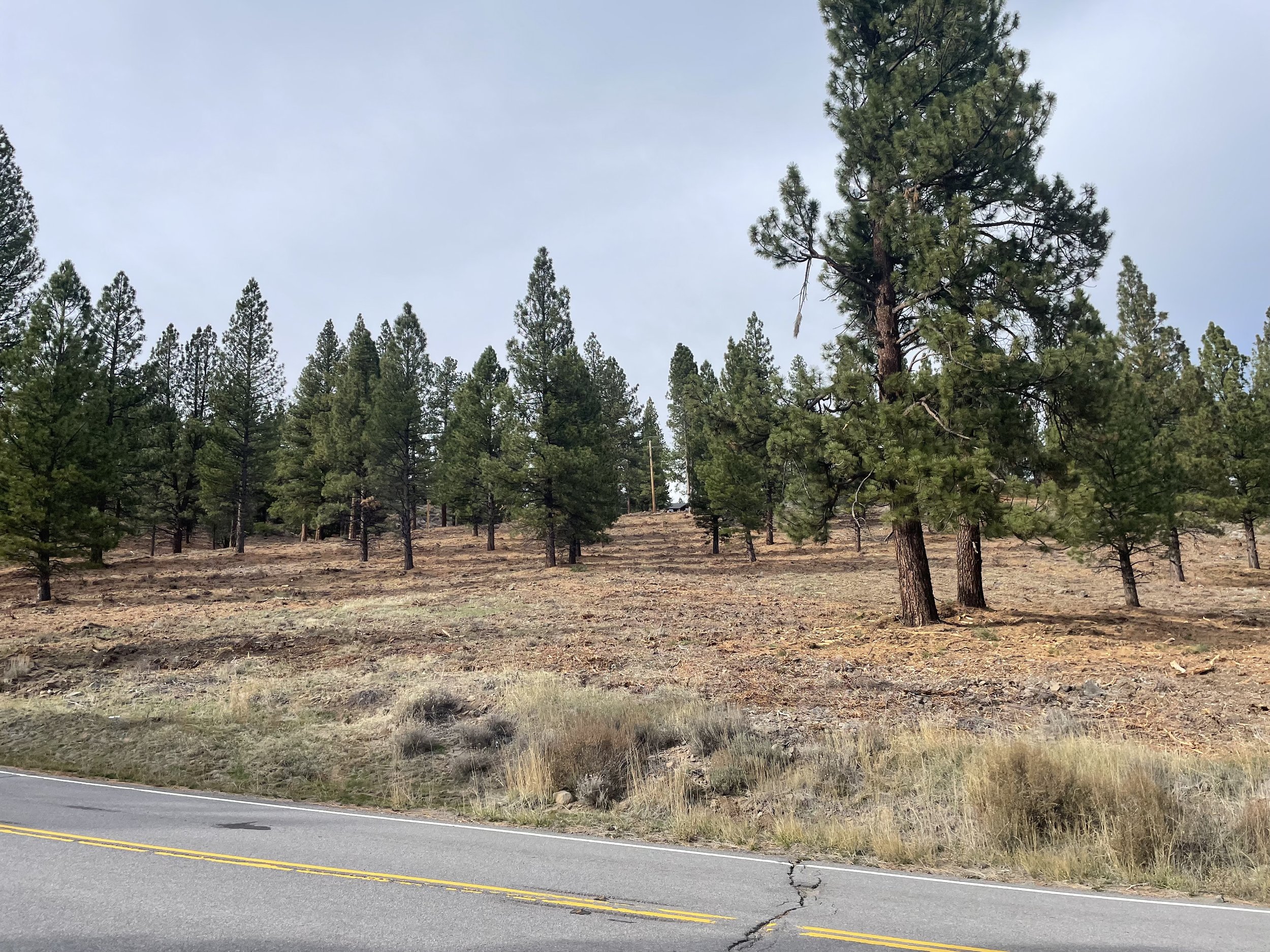
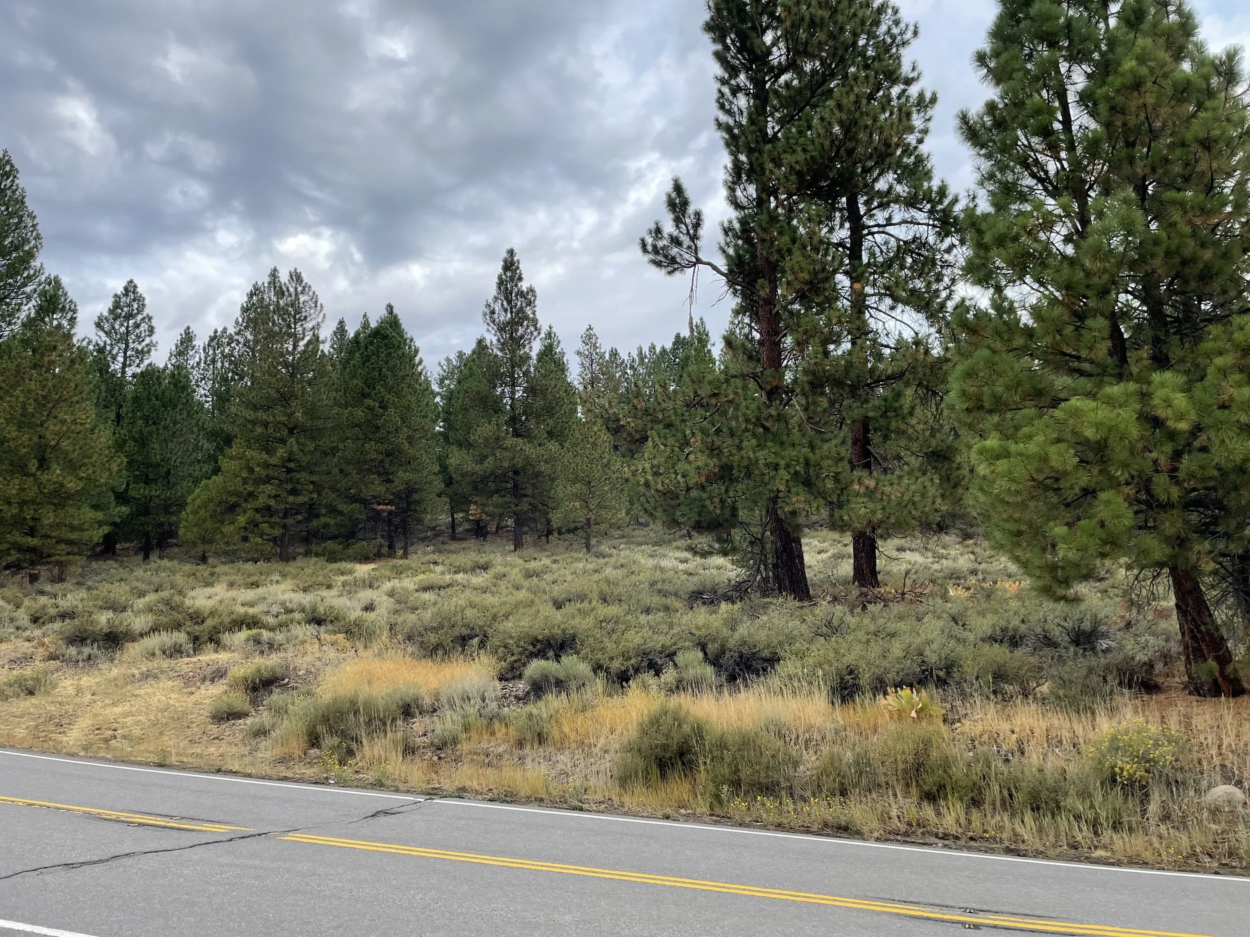
The goal of this project was to improve forest health and resilience, enhance defensible space, and protect the primary evacuation routes of Glenshire and Hirschdale communities. This project was implemented across three privately owned properties and joint funding is provided by Truckee Fire - Measure T, Truckee Tahoe Airport District, and the Truckee Donner Land Trust.
Total project treatment acreage: 460 acres
Treatment type: mechanical tree felling & processing, mastication, chipping, and trucking.
Olympic Heights - Old Greenwood Project - Nearing Completion
148 acres completed! Remaining 81 acre unit North of I-80.
The goal of this project is to establish a shaded fuelbreak and manage hazardous vegetation in order to reduce wildfire intensity and severity within and adjacent to the Olympic Heights and Old Greenwood communities. In addition to improving forest health and resilience, the work will support defensible space efforts around nearby homes and properties and enhance emergency ingress and egress routes.
Total project treatment acreage: 229 acres
Treatment type: track chipping, mastication
Central Truckee WUI Phase 1- COMPLETE!
This project is Complete!
The goal of this project is to establish a shaded fuelbreak and manage hazardous vegetation in order to reduce wildfire intensity and severity within and adjacent to Sierra College, Tahoe Forest Hospital, and the Deerfield, Gateway, and West River communities. In addition to improving forest health and resilience, the work will support defensible space efforts around nearby homes and properties and enhance emergency ingress and egress routes.
Total project treatment acreage: 72 acres
Treatment type: Mechanical and manual thinning, mastication and chipping
Forest Health Grant
This $8M CAL FIRE Forest Health Grant awarded in 2024 will treat over 2,600 of forest outside of our communities aiding in both forest health, forest resilience, and community protection goals. Forester Sheedy has been supporting the bi-county regional partners with getting this grant and agreements executed and supporting momentum so that projects are permitted smoothly and on time, and that implementation begins as soon as possible.
Operations have started for the Martis THP project, this project includes 377 acres of commercial forest thinning and biomass utilization. Crosscheck Services is the Licensed Timber Operator and Danielle Bradfield is the Registered Professional Forester overseeing the project. We anticipate this project to span two field seasons and be completed by 2026.
Operations have also started on the Northstar THP which includes 140 acres of commercial forest thinning and biomass utilization. Crosscheck Services is the LTO with Danielle Bradfield overseeing the project as the Registered Professional Forester. This work is anticipated to be completed this winter over-snow.
Tahoe Donner has completed site prep work on reforestation units covering 45 acres.
Several other Projects are slated to start in spring of 2026, this includes work in Tahoe Donner, Billy Mack Canyon, HWY 89 North, SPI, and Alpine Meadows.
2024 Projects
-
Fuel reduction and vegetation management to improve forest health and establish defensible space between developed lots and larger adjacent properties in the Armstrong Tract Community from Central Truckee to the eastside of Donner Lake and south of Tahoe Donner.
Total project treatment acreage: 94 acres
Treatment type: manual thinning, tracked chipping, and piling where needed.
-
This project in collaboration with Liberty Utilities vegetation management will reduce fuel loading and vegetation along Martis Peak Road to improve emergency ingress and egress, forest health, and reduce wildfire hazards adjacent to roadway in Eastern Truckee, in the Juniper Creek and Juniper Creek Ranch areas.
Total project treatment acreage: 147 acres
Treatment type: 50 feet from edge of pavement on both sides of the road
-
This project will create a shaded fuel break to reduce wildfire intensity and severity, improve forest health, and enhance defensible space and wildfire resilience in the Sierra Meadows subdivision from Central Truckee to south of Downtown Truckee and north of Martis Valley.
Total project treatment acreage: 83 acres
Treatment type: Mechanical and Manual thinning with follow up mastication and tracked chipping
Still Have Questions? Email: projects@truckeefire.org or call: 530-582-7888


